Global water watch
Climate change and growing pressure on natural resources are existential threats to both humanity and nature. These threats require ambitious responses. Increasing water risks have led to more attention on water-related threats. While demand for water has risen sharply in many regions of the world, as a result of population growth and economic expansion, climate change is expected to decrease water supply, alter the timing of water availability, and increase the severity of droughts and floods.
These growing pressures on water resources undermine water security and contribute to conflict, migration, health crises, and food and energy insecurity across the world.
Data on global water resources is essential for managing these growing risks and challenges. Global Water Watch, supported by Google.org and the Water, Peace, and Security Partnership, will provide free, globally accessible, near-real-time information on water. Deltares, World Resources Institute (WRI), and World Wildlife Fund (WWF) are partnering to create the data platform, which will house information on over 70,000 global reservoirs and major river systems, derived using satellite data, machine learning, and cloud computing. This data will help decision-makers respond to extreme weather events, manage growing risks of climate change, make societies more climate resilient, and preserve and restore our vital ecosystems and the many services they provide.
Simple
- Date (Publication)
- Purpose
-
The potential applications of this information are manifold. First, Global Water Watch will help national and subnational governments manage water resources more sustainably, efficiently, and equitably. Second, because the information is in the public domain, it will hold governments accountable for proper stewardship of precious water resources and shine a light on water resource conditions in upstream states and nations, who may be reluctant to share data with downstream neighbors. Third, the high resolution and near-real-time data within this new tool will help decision-makers respond quickly and effectively to extreme weather events, such as droughts and floods, which are occurring with greater frequency and intensity due to climate change.
- Status
- On going
- Maintenance and update frequency
- As needed
- Theme
-
-
Global water watch
-
Basin
-
water availability
-
global reservoirs
-
infrastructure
-
- Place
-
-
World
-
- Access constraints
- Other restrictions
- Use constraints
- otherRestictions
- Metadata language
-
eng
- Character set
- UTF8
- Topic category
-
- Boundaries
- Climatology, meteorology, atmosphere
- Environment
- Inland waters
))
- Reference system identifier
- WGS 1984
- Number of dimensions
- 3
- Dimension name
- Row
- Dimension name
- Column
- Dimension name
- Vertical
- Cell geometry
- Area
- Hierarchy level
- Dataset
Overviews
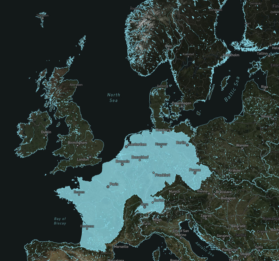
Spatial extent
Provided by
