 Stars4Water
silt
Type of resources
Available actions
Topics
Keywords
Contact for the resource
Provided by
Formats
Representation types
status
Scale
Resolution
-
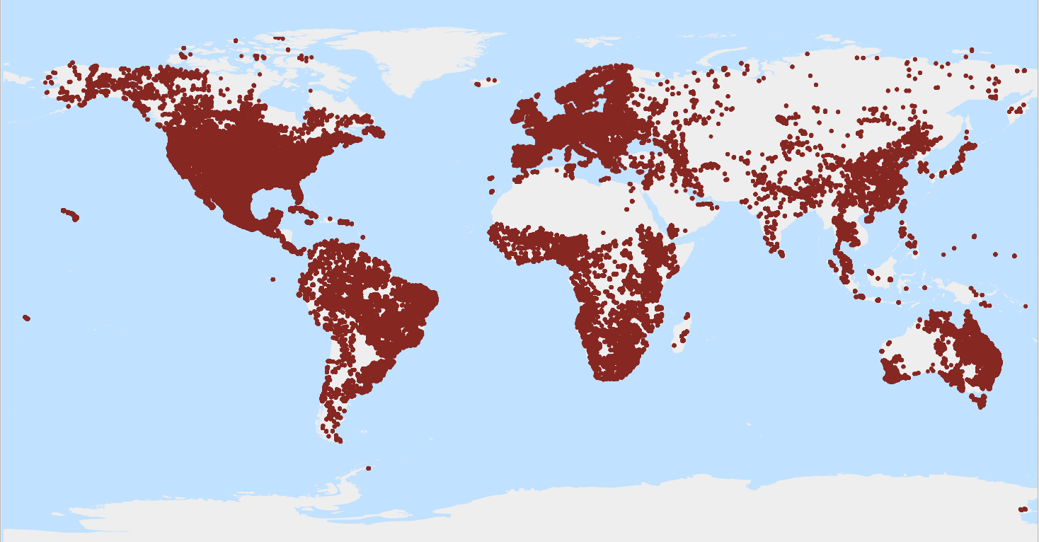
X to Y mm fraction of the fine earth fraction*; Y as specified in the analytical method description (e.g. Y = 0.05 mm) (g/100g). WoSIS_latest is a 'dynamic dataset' that contains the most recent complement of quality-assessed and standardised soil data served from WoSIS (ISRIC World Soil Information Service). The source data were shared by a wide range of data providers (see: https://www.isric.org/explore/wosis/wosis-contributing-institutions-and-experts). Being dynamic, the contents of 'wosis_latest' will change once new point data are acquired, cleansed and standardised, additional soil properties are considered, and/or when possible amendments are required. Static snapshots of 'wosis_latest' are released at irregular intervals for consistent citation purposes and to discuss methodological changes; the last snapshot is available at https://doi.org/10.5194/essd-16-4735-2024. For general information about WoSIS please see the FAQ-page at https://www.isric.org/explore/wosis/faq-wosis.
-
Silt content (2-50/63 micro meter) mass fraction in ‰ at 6 standard depths. Predictions were derived using a digital soil mapping approach based on Quantile Random Forest, drawing on a global compilation of soil profile data and environmental layers. This map is the result of resampling the mean SoilGrids 250 m predictions (Poggio et al. 2021) for each 1000 m cell.
-
Silt content (2-50/63 micro meter) mass fraction in ‰ at 6 standard depths. Predictions were derived using a digital soil mapping approach based on Quantile Random Forest, drawing on a global compilation of soil profile data and environmental layers. To visualize these layers please use www.soilgrids.org.
-
Silt content (2-50/63 micro meter) mass fraction in ‰ at 6 standard depths. Predictions were derived using a digital soil mapping approach based on Quantile Random Forest, drawing on a global compilation of soil profile data and environmental layers. This map is the result of resampling the mean SoilGrids 250 m predictions (Poggio et al. 2021) for each 5000 m cell.