 Stars4Water
250000
Type of resources
Available actions
Topics
Keywords
Contact for the resource
Provided by
Years
Formats
Representation types
Update frequencies
status
Scale
-
A set of 6 medium scale (250k) topographic maps, that share geographical overlapping with the Okavango Basin. Source: The Surveyor General, Harare, Zimbabwe. Original data georeferenced under the GIS EPSMO program. This dataset is part of the GIS Database for the Environment Protection and Sustainable Management of the Okavango River Basin project (EPSMO). Detailed information on the database can be found in the “GIS Database for the EPSMO Project†document produced by Luis Veríssimo (FAO consultant) in July 2009, and here available for download.
-

Complete set of 23 medium scale topographic maps, that share geographical overlapping with the Okavango Basin. Source: Instituto de Geodesia e Cartografia de Angola (IGCA), Luanda. Original data georeferenced under the GIS EPSMO program. This dataset is part of the GIS Database for the Environment Protection and Sustainable Management of the Okavango River Basin project (EPSMO). Detailed information on the database can be found in the “GIS Database for the EPSMO Project†document produced by Luis Veríssimo (FAO consultant) in July 2009, and here available for download.
-
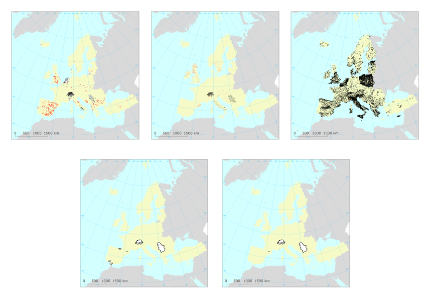
The dataset contains information on European groundwater bodies, monitoring sites, river basin districts, river basin districts sub-units and surface bodies reported to the European Environment Agency between 29-11-2001 and 24-03-2022. The information was reported to the European Environment Agency under the State of Environment reporting obligations. For the EU27 countries, Iceland, Norway and the United Kingdom, the EIONET spatial data was consolidated with the spatial data reported under the Water Framework Directive reporting obligations. For these countries, the reference spatial data set is the "WISE WFD Reference Spatial Datasets reported under Water Framework Directive". Relevant concepts: Groundwater body: 'Body of groundwater' means a distinct volume of groundwater within an aquifer or aquifers. Groundwater: All water which is below the surface of the ground in the saturation zone and in direct contact with the ground or subsoil. Aquifer: Subsurface layer or layers of rock or other geological strata of sufficient porosity and permeability to allow either a significant flow of groundwater or the abstraction of significant quantities of groundwater. Surface water body: Body of surface water means a discrete and significant element of surface water such as a lake, a reservoir, a stream, river or canal, part of a stream, river or canal, a transitional water or a stretch of coastal water. Surface water: Inland waters, except groundwater; transitional waters and coastal waters, except in respect of chemical status for which it shall also include territorial waters. Inland water: All standing or flowing water on the surface of the land, and all groundwater on the landward side of the baseline from which the breadth of territorial waters is measured. River: Body of inland water flowing for the most part on the surface of the land but which may flow underground for part of its course. Lake: Body of standing inland surface water. River basin district: The area of land and sea, made up of one or more neighbouring river basins together with their associated groundwaters and coastal waters, which is the main unit for management of river basins. River basin: The area of land from which all surface run-off flows through a sequence of streams, rivers and, possibly, lakes into the sea at a single river mouth, estuary or delta. Sub-basin: The area of land from which all surface run-off flows through a series of streams, rivers and, possibly, lakes to a particular point in a water course (normally a lake or a river confluence). Sub-unit [Operational definition. Not in the WFD]: Reporting unit. River basin districts larger than 50000 square kilometre should be divided into comparable sub-units with an area between 5000 and 50000 square kilometre. The sub-units should be created using river basins (if more than one river basin exists in the RBD), set of contiguous river basins, or sub-basins, for example. If the RBD area is less than 50000 square kilometre, the RBD itself should be used as a sub-unit.
-
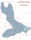
Partial coverage of band compositions data of Landsat MSS, Landsat TM and Landsat ETM, in the decadal intervals of 1972-87 (MSS), 1987-97 (TM), 1999-2008 (ETM). Source: Free of charge acquisition (Global Land Cover Facility) and pre processing under the GIS EPSMO program. This dataset is part of the GIS Database for the Environment Protection and Sustainable Management of the Okavango River Basin project (EPSMO). Detailed information on the database can be found in the “GIS Database for the EPSMO Project†document produced by Luis Veríssimo (FAO consultant) in July 2009, and here available for download.
-
Geology and Hydrogeology Map of Angola, that shares geographical overlapping with the Okavango Basin. Source: Instituto de Geodesia e Cartografia de Angola (IGCA), Luanda. Original data georeferenced under the GIS EPSMO program. This dataset is part of the GIS Database for the Environment Protection and Sustainable Management of the Okavango River Basin project (EPSMO). Detailed information on the database can be found in the “GIS Database for the EPSMO Project†document produced by Luis Veríssimo (FAO consultant) in July 2009, and here available for download.
-

Complete set of 16 medium scale topographic maps, that share geographical overlapping with the Okavango Basin. Source: Instituto de Geodesia e Cartografia de Angola (IGCA), Luanda. Original data georeferenced under the GIS EPSMO program. This dataset is part of the GIS Database for the Environment Protection and Sustainable Management of the Okavango River Basin project (EPSMO). Detailed information on the database can be found in the “GIS Database for the EPSMO Project†document produced by Luis Veríssimo (FAO consultant) in July 2009, and here available for download.