 Stars4Water
Water
Type of resources
Available actions
Topics
Keywords
Contact for the resource
Provided by
Years
Formats
Representation types
Update frequencies
Scale
Resolution
-

Corine Land Cover 2018 (CLC2018) is one of the Corine Land Cover (CLC) datasets produced within the frame the Copernicus Land Monitoring Service referring to land cover / land use status of year 2018. CLC service has a long-time heritage (formerly known as "CORINE Land Cover Programme"), coordinated by the European Environment Agency (EEA). It provides consistent and thematically detailed information on land cover and land cover changes across Europe. CLC datasets are based on the classification of satellite images produced by the national teams of the participating countries - the EEA members and cooperating countries (EEA39). National CLC inventories are then further integrated into a seamless land cover map of Europe. The resulting European database relies on standard methodology and nomenclature with following base parameters: 44 classes in the hierarchical 3-level CLC nomenclature; minimum mapping unit (MMU) for status layers is 25 hectares; minimum width of linear elements is 100 metres. Change layers have higher resolution, i.e. minimum mapping unit (MMU) is 5 hectares for Land Cover Changes (LCC), and the minimum width of linear elements is 100 metres. The CLC service delivers important data sets supporting the implementation of key priority areas of the Environment Action Programmes of the European Union as e.g. protecting ecosystems, halting the loss of biological diversity, tracking the impacts of climate change, monitoring urban land take, assessing developments in agriculture or dealing with water resources directives. CLC belongs to the Pan-European component of the Copernicus Land Monitoring Service (https://land.copernicus.eu/), part of the European Copernicus Programme coordinated by the European Environment Agency, providing environmental information from a combination of air- and space-based observation systems and in-situ monitoring. Additional information about CLC product description including mapping guides can be found at https://land.copernicus.eu/user-corner/technical-library/. CLC class descriptions can be found at https://land.copernicus.eu/user-corner/technical-library/corine-land-cover-nomenclature-guidelines/html/.
-
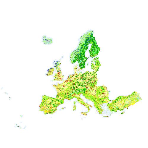
Corine Land Cover 2018 (CLC2018) is one of the Corine Land Cover (CLC) datasets produced within the frame the Copernicus Land Monitoring Service referring to land cover / land use status of year 2018. CLC service has a long-time heritage (formerly known as "CORINE Land Cover Programme"), coordinated by the European Environment Agency (EEA). It provides consistent and thematically detailed information on land cover and land cover changes across Europe. CLC datasets are based on the classification of satellite images produced by the national teams of the participating countries - the EEA members and cooperating countries (EEA39). National CLC inventories are then further integrated into a seamless land cover map of Europe. The resulting European database relies on standard methodology and nomenclature with following base parameters: 44 classes in the hierarchical 3-level CLC nomenclature; minimum mapping unit (MMU) for status layers is 25 hectares; minimum width of linear elements is 100 metres. Change layers have higher resolution, i.e. minimum mapping unit (MMU) is 5 hectares for Land Cover Changes (LCC), and the minimum width of linear elements is 100 metres. The CLC service delivers important data sets supporting the implementation of key priority areas of the Environment Action Programmes of the European Union as e.g. protecting ecosystems, halting the loss of biological diversity, tracking the impacts of climate change, monitoring urban land take, assessing developments in agriculture or dealing with water resources directives. CLC belongs to the Pan-European component of the Copernicus Land Monitoring Service (https://land.copernicus.eu/), part of the European Copernicus Programme coordinated by the European Environment Agency, providing environmental information from a combination of air- and space-based observation systems and in-situ monitoring. Additional information about CLC product description including mapping guides can be found at https://land.copernicus.eu/user-corner/technical-library/. CLC class descriptions can be found at https://land.copernicus.eu/user-corner/technical-library/corine-land-cover-nomenclature-guidelines/html/.
-
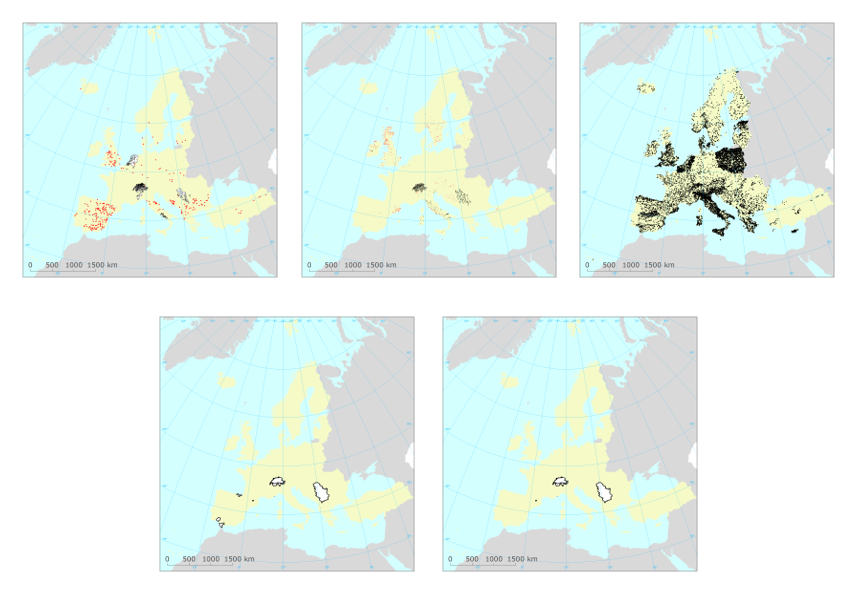
The dataset contains information on European groundwater bodies, monitoring sites, river basin districts, river basin districts sub-units and surface bodies reported to the European Environment Agency between 29-11-2001 and 24-03-2022. The information was reported to the European Environment Agency under the State of Environment reporting obligations. For the EU27 countries, Iceland, Norway and the United Kingdom, the EIONET spatial data was consolidated with the spatial data reported under the Water Framework Directive reporting obligations. For these countries, the reference spatial data set is the "WISE WFD Reference Spatial Datasets reported under Water Framework Directive". Relevant concepts: Groundwater body: 'Body of groundwater' means a distinct volume of groundwater within an aquifer or aquifers. Groundwater: All water which is below the surface of the ground in the saturation zone and in direct contact with the ground or subsoil. Aquifer: Subsurface layer or layers of rock or other geological strata of sufficient porosity and permeability to allow either a significant flow of groundwater or the abstraction of significant quantities of groundwater. Surface water body: Body of surface water means a discrete and significant element of surface water such as a lake, a reservoir, a stream, river or canal, part of a stream, river or canal, a transitional water or a stretch of coastal water. Surface water: Inland waters, except groundwater; transitional waters and coastal waters, except in respect of chemical status for which it shall also include territorial waters. Inland water: All standing or flowing water on the surface of the land, and all groundwater on the landward side of the baseline from which the breadth of territorial waters is measured. River: Body of inland water flowing for the most part on the surface of the land but which may flow underground for part of its course. Lake: Body of standing inland surface water. River basin district: The area of land and sea, made up of one or more neighbouring river basins together with their associated groundwaters and coastal waters, which is the main unit for management of river basins. River basin: The area of land from which all surface run-off flows through a sequence of streams, rivers and, possibly, lakes into the sea at a single river mouth, estuary or delta. Sub-basin: The area of land from which all surface run-off flows through a series of streams, rivers and, possibly, lakes to a particular point in a water course (normally a lake or a river confluence). Sub-unit [Operational definition. Not in the WFD]: Reporting unit. River basin districts larger than 50000 square kilometre should be divided into comparable sub-units with an area between 5000 and 50000 square kilometre. The sub-units should be created using river basins (if more than one river basin exists in the RBD), set of contiguous river basins, or sub-basins, for example. If the RBD area is less than 50000 square kilometre, the RBD itself should be used as a sub-unit.