 Stars4Water
Geoscientific information
Type of resources
Available actions
Topics
Keywords
Contact for the resource
Provided by
Years
Formats
Representation types
Update frequencies
status
Scale
Resolution
-
Model predictions on SOM-content under arable land( Report: https://edepot.wur.nl/556312). Predictions with a model ensemble at fixed depths of 15, 45, 80 and 120 cm. Predictions using an ensemble of Random Forests and Gradient Boosting, with covariates from the SoilGrids 2017 model (Hengl et al. 2017) and a spatial cross-validation procedure. The model was applied on log-transformed observations of SOC. Models result were back- transformed and converted to SOM by multiplying SOC predictions with 1.743. Prediction
-
The FGGD terrain slope map is a global raster datalayer with a resolution of 5 arc-minutes. Each pixel contains a terrain slope class value for the pixel area. The data are from U.S. Geological Survey, 1993, GTOPO 30, as reported in FAO and IIASA, 2000, Global agro-ecological zones, and FAO and IIASA, 2007, Mapping biophysical factors that influence agricultural production and rural vulnerability, by H. von Velthuizen et al.
-
Model predictions on SOM-content under arable land (see: Report: https://edepot.wur.nl/556312 ): 'Predictions with a model ensemble at fixed depths of 15, 45, 80 and 120 cm on a 250m grid. Predictions using an ensemble of Random Forests and Gradient Boosting, with covariates from the SoilGrids 2017 model (Hengl et al. 2017) and a spatial cross-validation procedure. The model was applied on log-transformed observations of SOC. Models result were back- transformed and converted to SOM by multiplying SOC predictions with 1.743.'
-

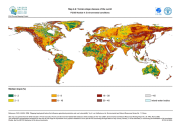
The FGGD soils map is a global raster datalayer with a resolution of 5 arc-minutes. Each pixel contains a class value for the major soil group found in the pixel area. The data are from FAO and IIASA, 2000, Global agro-ecological zones, as reported in FAO and IIASA, 2007, Mapping biophysical factors that influence agricultural production and rural vulnerability, by H. von Velthuizen et al.
-
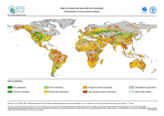
The FGGD soil constraints map is a global raster datalayer with a resolution of 5 arc-minutes. Each pixel contains a class value for the degree to which soil characteristics constrain agricultural production potential in the pixel area. The data are from FAO and IIASA, 2000, Global agro-ecological zones, as reported in FAO and IIASA, 2007, Mapping biophysical factors that influence agricultural production and rural vulnerability, by H. von Velthuizen et al.
-
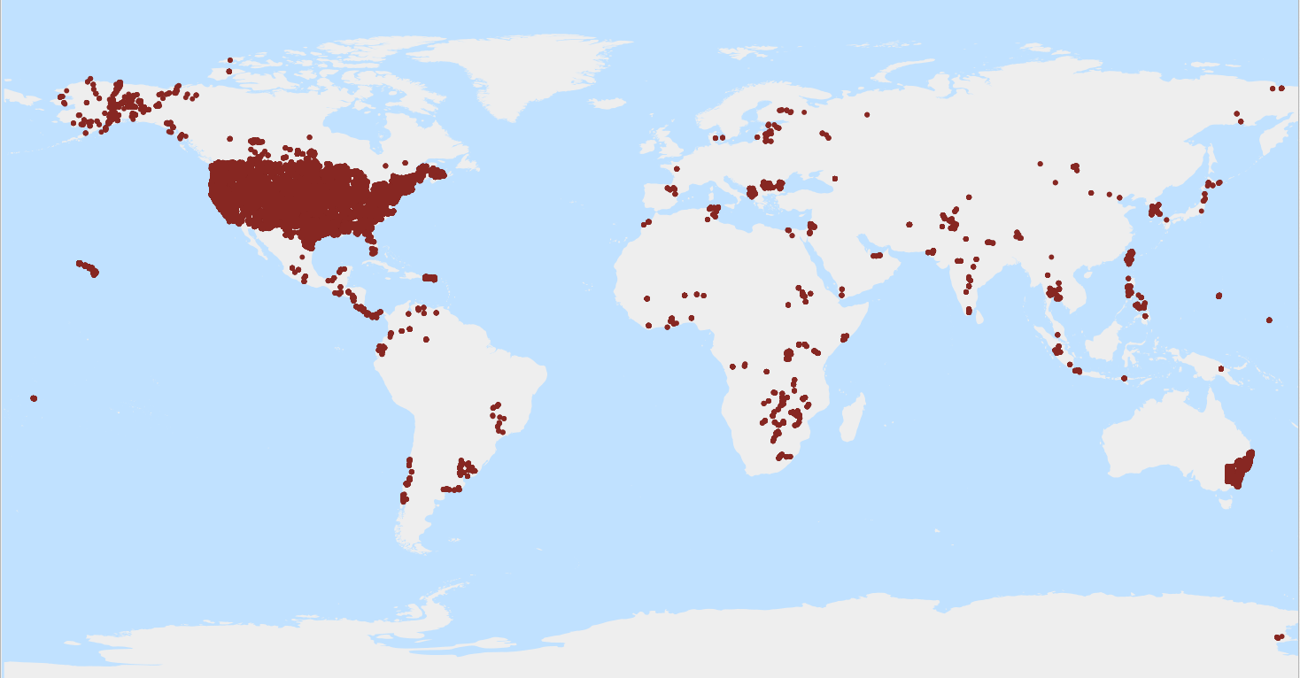
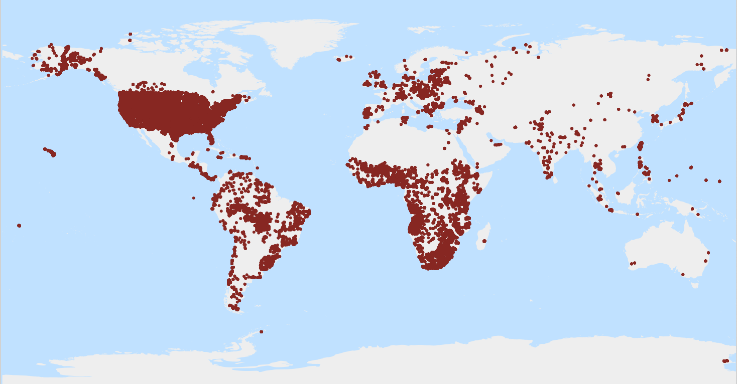
Soil moisture content by weight, at tension 33 kPa (pF 2.5) (g/100g). WoSIS_latest is a 'dynamic dataset' that contains the most recent complement of quality-assessed and standardised soil data served from WoSIS (ISRIC World Soil Information Service). The source data were shared by a wide range of data providers (see: https://www.isric.org/explore/wosis/wosis-contributing-institutions-and-experts). Being dynamic, the contents of 'wosis_latest' will change once new point data are acquired, cleansed and standardised, additional soil properties are considered, and/or when possible amendments are required. Static snapshots of 'wosis_latest' are released at irregular intervals for consistent citation purposes and to discuss methodological changes; the last snapshot is available at https://doi.org/10.5194/essd-16-4735-2024. For general information about WoSIS please see the FAQ-page at https://www.isric.org/explore/wosis/faq-wosis.
-

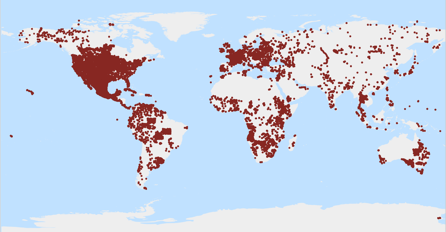
Bulk density of the whole soil including coarse fragments, air dried (kg/dm³). WoSIS_latest is a 'dynamic dataset' that contains the most recent complement of quality-assessed and standardised soil data served from WoSIS (ISRIC World Soil Information Service). The source data were shared by a wide range of data providers (see: https://www.isric.org/explore/wosis/wosis-contributing-institutions-and-experts). Being dynamic, the contents of 'wosis_latest' will change once new point data are acquired, cleansed and standardised, additional soil properties are considered, and/or when possible amendments are required. Static snapshots of 'wosis_latest' are released at irregular intervals for consistent citation purposes and to discuss methodological changes; the last snapshot is available at https://doi.org/10.5194/essd-16-4735-2024. For general information about WoSIS please see the FAQ-page at https://www.isric.org/explore/wosis/faq-wosis.
-
Volumetric content of coarse fragments* in the whole soil (cm³/100cm³). WoSIS_latest is a 'dynamic dataset' that contains the most recent complement of quality-assessed and standardised soil data served from WoSIS (ISRIC World Soil Information Service). The source data were shared by a wide range of data providers (see: https://www.isric.org/explore/wosis/wosis-contributing-institutions-and-experts). Being dynamic, the contents of 'wosis_latest' will change once new point data are acquired, cleansed and standardised, additional soil properties are considered, and/or when possible amendments are required. Static snapshots of 'wosis_latest' are released at irregular intervals for consistent citation purposes and to discuss methodological changes; the last snapshot is available at https://doi.org/10.5194/essd-16-4735-2024. For general information about WoSIS please see the FAQ-page at https://www.isric.org/explore/wosis/faq-wosis.
-
The content of carbonate in a liming material or calcareous soil calculated as if all of the carbonate is in the form of CaCO3 (in the fine earth fraction*); also known as inorganic carbon (g/kg). WoSIS_latest is a 'dynamic dataset' that contains the most recent complement of quality-assessed and standardised soil data served from WoSIS (ISRIC World Soil Information Service). The source data were shared by a wide range of data providers (see: https://www.isric.org/explore/wosis/wosis-contributing-institutions-and-experts). Being dynamic, the contents of 'wosis_latest' will change once new point data are acquired, cleansed and standardised, additional soil properties are considered, and/or when possible amendments are required. Static snapshots of 'wosis_latest' are released at irregular intervals for consistent citation purposes and to discuss methodological changes; the last snapshot is available at https://doi.org/10.5194/essd-16-4735-2024. For general information about WoSIS please see the FAQ-page at https://www.isric.org/explore/wosis/faq-wosis.
-
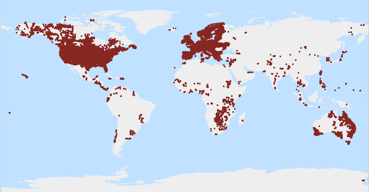
A measure of the acidity or alkalinity in soils, defined as the negative logarithm (base 10) of the activity of hydronium ions (H+) in a CaCl2 solution, as specified in the analytical method descriptions. WoSIS_latest is a 'dynamic dataset' that contains the most recent complement of quality-assessed and standardised soil data served from WoSIS (ISRIC World Soil Information Service). The source data were shared by a wide range of data providers (see: https://www.isric.org/explore/wosis/wosis-contributing-institutions-and-experts). Being dynamic, the contents of 'wosis_latest' will change once new point data are acquired, cleansed and standardised, additional soil properties are considered, and/or when possible amendments are required. Static snapshots of 'wosis_latest' are released at irregular intervals for consistent citation purposes and to discuss methodological changes; the last snapshot is available at https://doi.org/10.5194/essd-16-4735-2024. For general information about WoSIS please see the FAQ-page at https://www.isric.org/explore/wosis/faq-wosis.